- English
- Русский
- Українська
Languages:
This site is created using Wikimapia data. Wikimapia is an open-content collaborative map project contributed by volunteers around the world. It contains information about 32083312 places and counting.
Learn more about Wikimapia and cityguides.
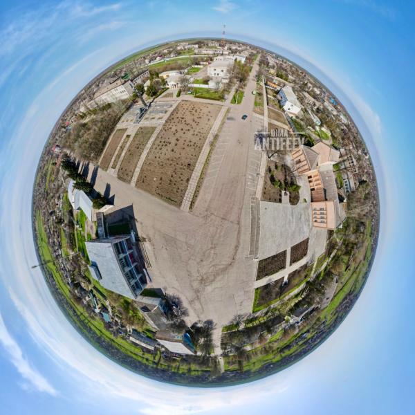
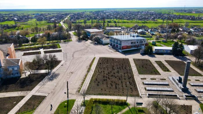
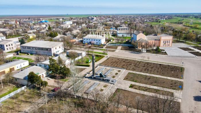
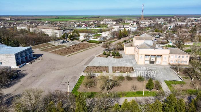
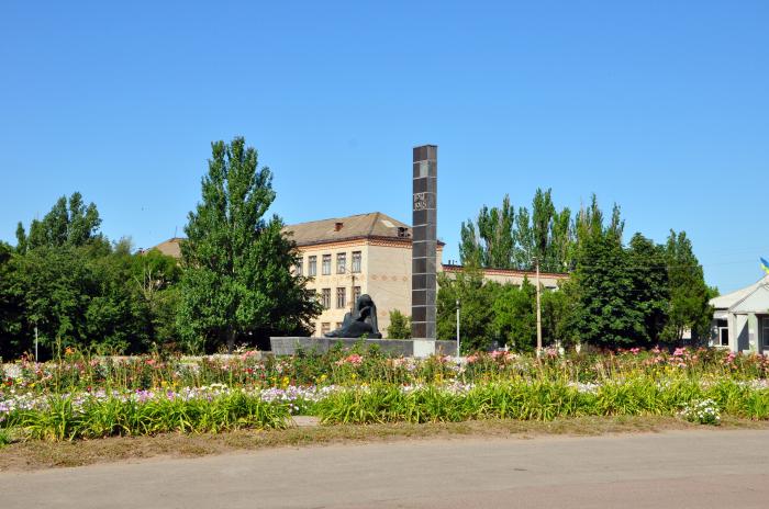
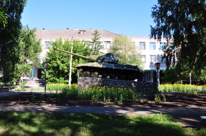
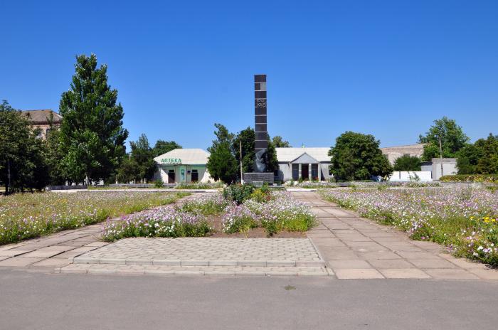
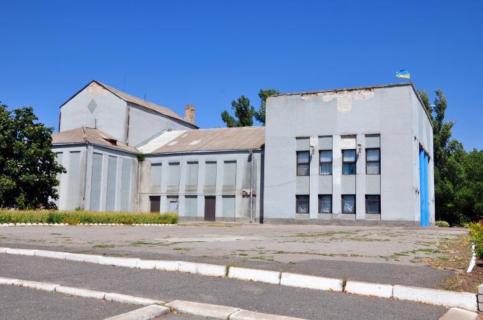
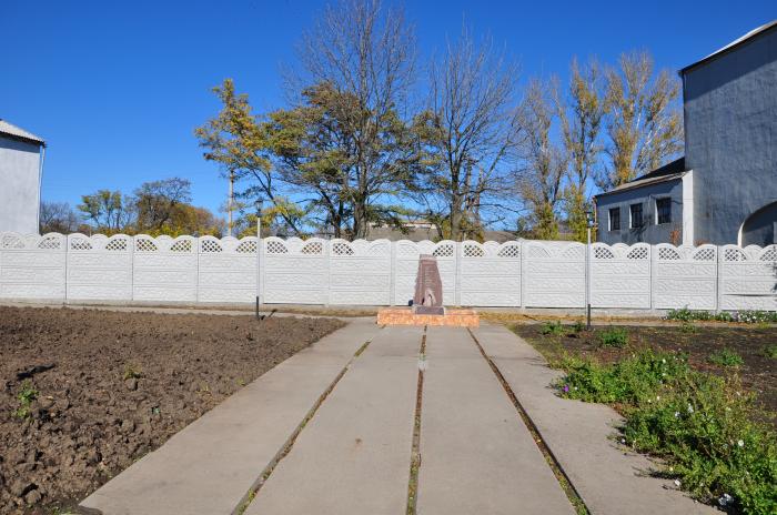
Nyzhni Sirohozy
A town in Khersonska region
Nyzhni Sirohozy on the map.